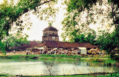
Bac Ninh
Area: 822.7 sq. km.
Population: 1,034.2 thousand habitants (2010)
Capital: Bac Ninh City
Town: Tu Son
Districts: Que Vo, Yen Phong, Tien Du, Thuan Thanh, Gia Binh, Luong Tai.
Ethnic groups: Viet (Kinh), Tay, Nung, Muong...
Geography:
Bac Ninh is located in the Red River Delta region. It is surrounded by Bac Giang to the north, Hung Yen to the south, Hai Duong to the east, and Hanoi to the west. The topography is quite flat with a complex network of rivers and springs, including Cau, Duong, and Thai Binh rivers.Climate: The province has moon soon weather, cold winter. The annual average temperature is 24oC. The highest one is 30oC in July; the lowest one is 150C in January. The annual average rainfall is 1,400mm- 1,600mm. The rainy season lasts from May to October and the dry season lasts from December to April next year.


No comments:
Post a Comment